Discover
Global Learning Opportunities
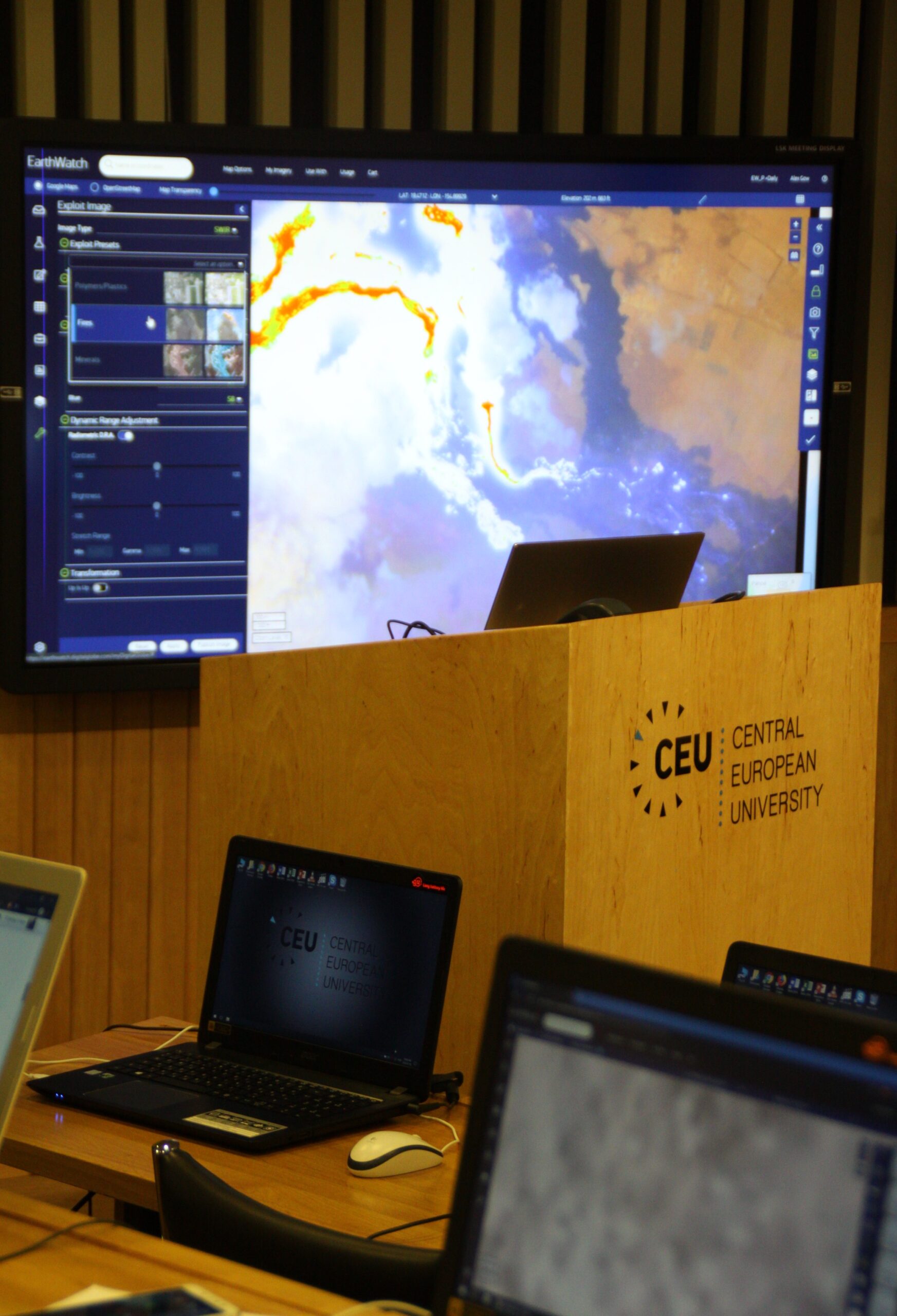
GeoHub offers GHEA21 Network Courses that connect higher education students globally to explore geospatial analysis and data visualization.
GHEA21 builds on the work of the Open Society University Network (OSUN), established in 2020, which successfully developed a new model of global higher education that has provided unrivaled opportunities for undergraduate students to pursue global learning with faculty from around the world. Since 2022, Central European University (CEU), the American University of Central Asia (AUCA), and Bard College have partnered to offer a series of geospatial courses aimed at developing essential skills in geospatial technologies.
This website showcases four courses that empower students and OSUN community members to engage with cutting-edge tools and concepts in Geographic Information Systems (GIS) to address global challenges:
These courses unite participants from across the GHEA21, creating a dynamic, collaborative learning environment. Students and faculty from CEU, AUCA, and Bard College, along with members of the broader GHEA21 community, actively contribute to building a shared knowledge base and advancing geospatial education.
Explore the website to learn more about the courses, access resources, and discover how geospatial technologies are shaping our understanding of the world.


The student projects section features research that applies geospatial techniques to social and environmental issues. These projects showcase how spatial analysis and visualization enrich our understanding of complex societal processes.